About the Course creation
Hi, I’m Simone Hounshell. When I was working on my requirements for BSA (Scouting America) First Class I discovered there were no physical public orienteering courses in Oklahoma. When it came time for my Eagle Project I wanted to change that.
I contacted the Tulsa Parks Department and found out they have a packet to approve projects in parks. They were very helpful, but it is a long process. I was only a Star rank at the time and I needed to be Life rank to apply so I had to get my next rank.
After I got my next rank I started talking to them about rules for the park. I found out we couldn’t put posts into the ground because of all the utilities so I had to make a post that sat above the ground.
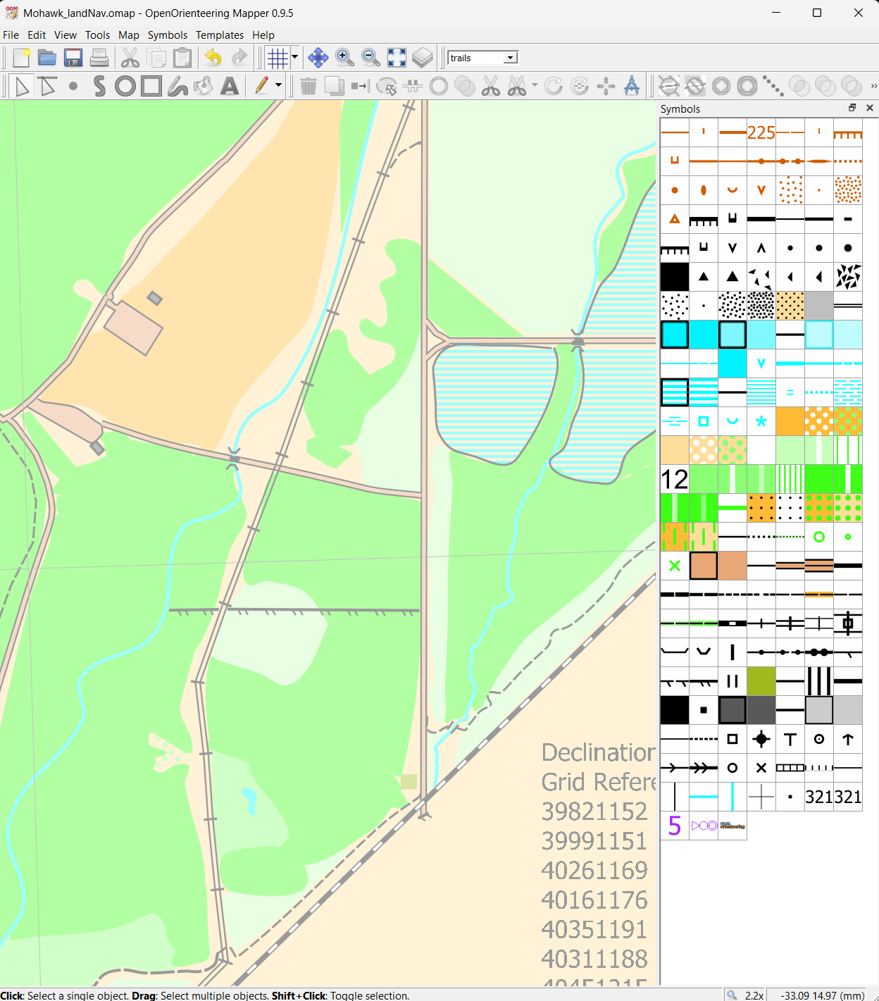
I walked around the park and mapped places I thought would be good for control points. I sketched out terrain and created a map.
I had to get my Eagle Project approved by the Indian Nations Council as another step in the Parks packet and finally I had to present the project to the Parks Board during a board meeting!
Everyone was very nice and it has been a very good learning experience, but if you want to do something in a park it is important to get started early.
After the meeting some of the parks employees were concerned about some of the control point locations, but they had some even better suggestions for where to put them.
I had to redo the map, but by this time I had gotten better at using OpenOrienteering Mapper and creating GPS traces so it went a lot faster.
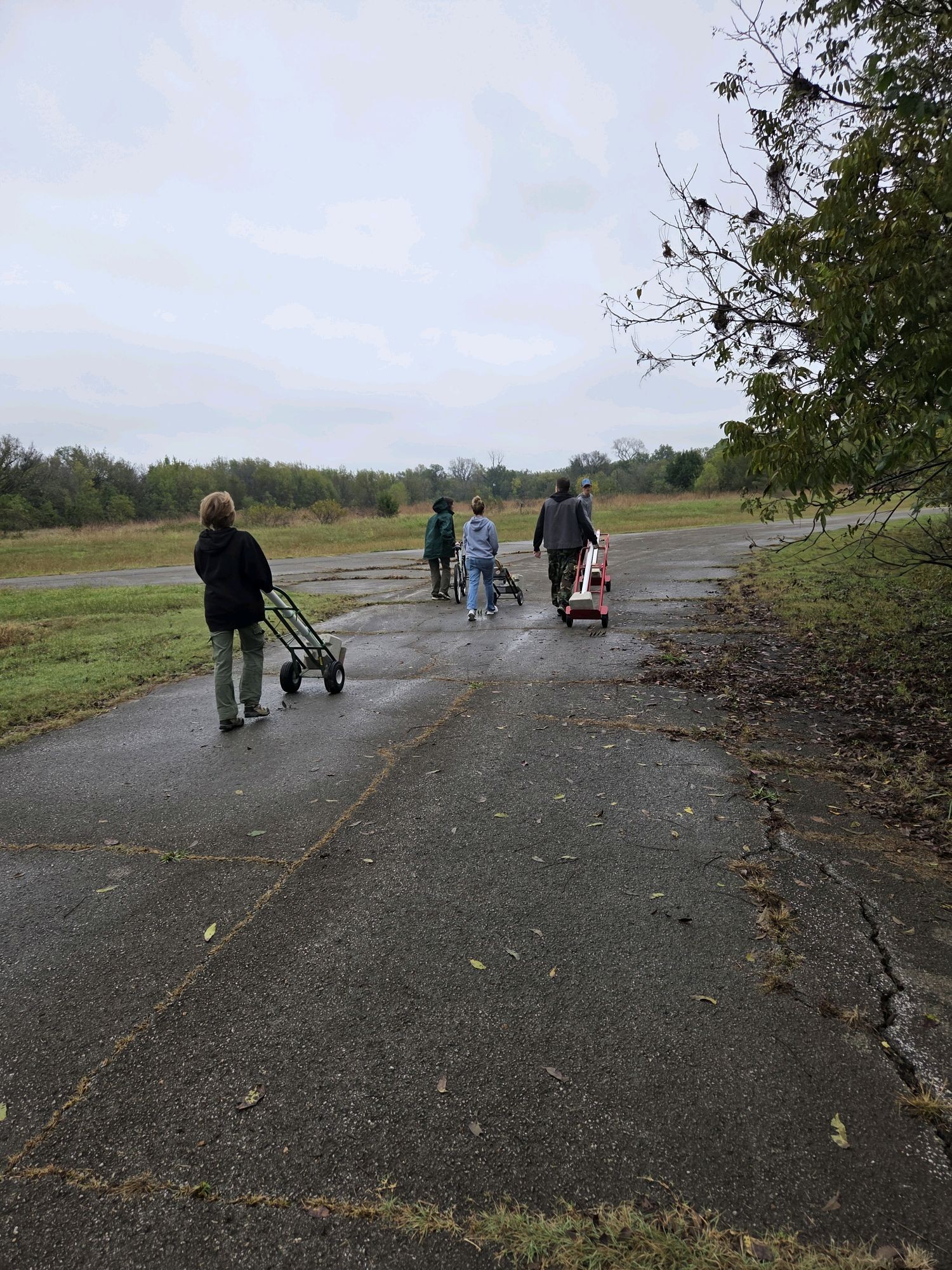
Finally, with the help of my Troop 935G we put the poles in over two days.
Map Making
Map making is hard. I essentially followed this guide which made it a lot easier, but in the end you have to walk around and make sure what you’re putting on the map makes sense.